Description
Description
The LIS user interface is structured in five drop-down technical menus (Climate, Water, Environment, Socio-economy and IWRM), to which submenus are associated. In addition to these, there are two other menus: one dedicated to administration with additional features such as the import of data and documents into the document management system (DMS) and one is the DMS itself.
The themed submenus are presented as interactive web page which are composed of the following elements:
- a general description presents the subject;
- a browser window displays a thematic map on the subject, allowing for navigation (pan, zoom in, zoom out) and query possibilities (selection of point, line and polygon features);
- an interactive legend (layer list) describes the symbols and colors of each layer. Both the descriptive text and the legend can be unfolded or activated by clicking on the + symbol attached to the heading;
- the source of data is specified in a table located below the thematic map;
- finally, with the interactive selection of a specific feature (point, line or polygon) a table with the corresponding attribute information (e.g. time series analysis of data) for the selected feature appears.
The system allows for interactive language selection between French and English using selectable flag symbols on the lower-right part of each window.
")
")
")
")
")
")

")
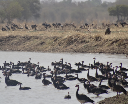
 (Photo PRODEBALT, LCBC)")
")
")
")
")
")
")
")
")
")
")
")

 constructed by nomads in the Logone Floodplain (Photo D.Daira, LCBC)")
")
")
")
")
")
")
")
")

")
")
")
")
")
")